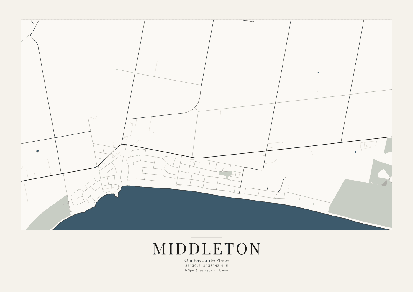
35°30.9′ S 138°43.4′ E · landscape
Middleton, South Australia
A coastal settlement on the Fleurieu Peninsula. The shoreline, the main road, and the residential streets are drawn from OpenStreetMap.
Example · not for sale
Independent Australian studio
Personalised map artwork celebrating the places, memories and moments that matter.
Each example is drawn from OpenStreetMap. Roads, coasts, and water stay where the data put them.
The pipeline writes a vector SVG and an A3 PDF. These pages show the web previews of those files.
Ordering is planned through Etsy later. No listing, price, or delivery time is offered here.
Three example places
The same Coastal Classic system, framed for a town, a city, and a coastline.
35°30.9′ S 138°43.4′ E · landscape
A coastal settlement on the Fleurieu Peninsula. The shoreline, the main road, and the residential streets are drawn from OpenStreetMap.
Example · not for sale
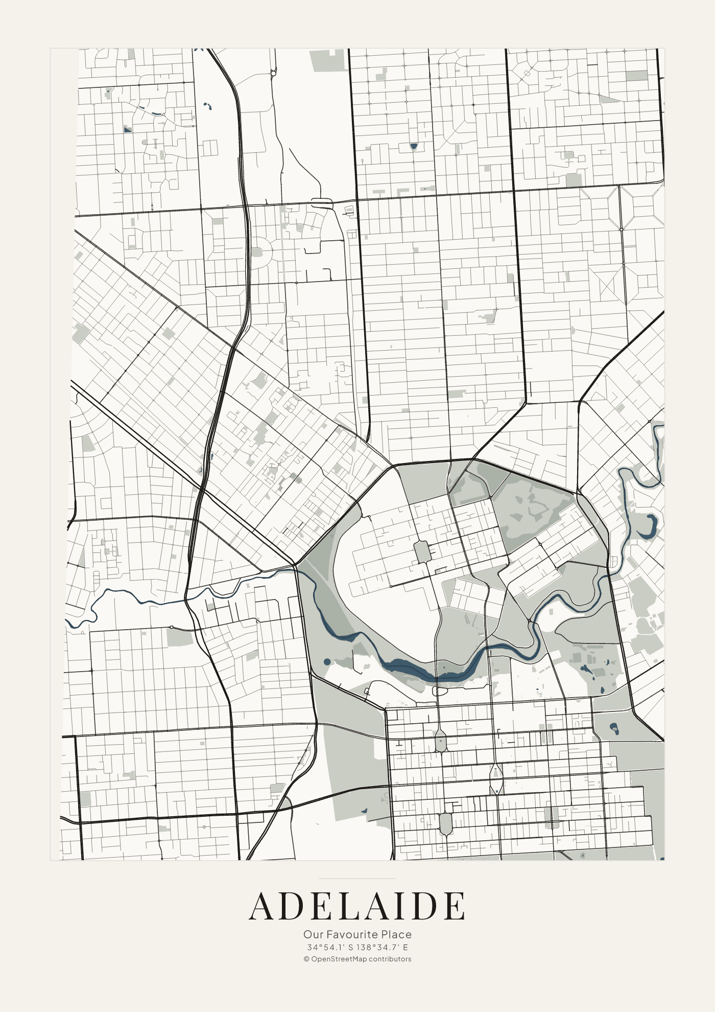
34°54.1′ S 138°34.7′ E · portrait
The city grid, the parklands, and the River Torrens. Gulf St Vincent is outside this sheet. Roads and water come from OpenStreetMap.
Example · not for sale
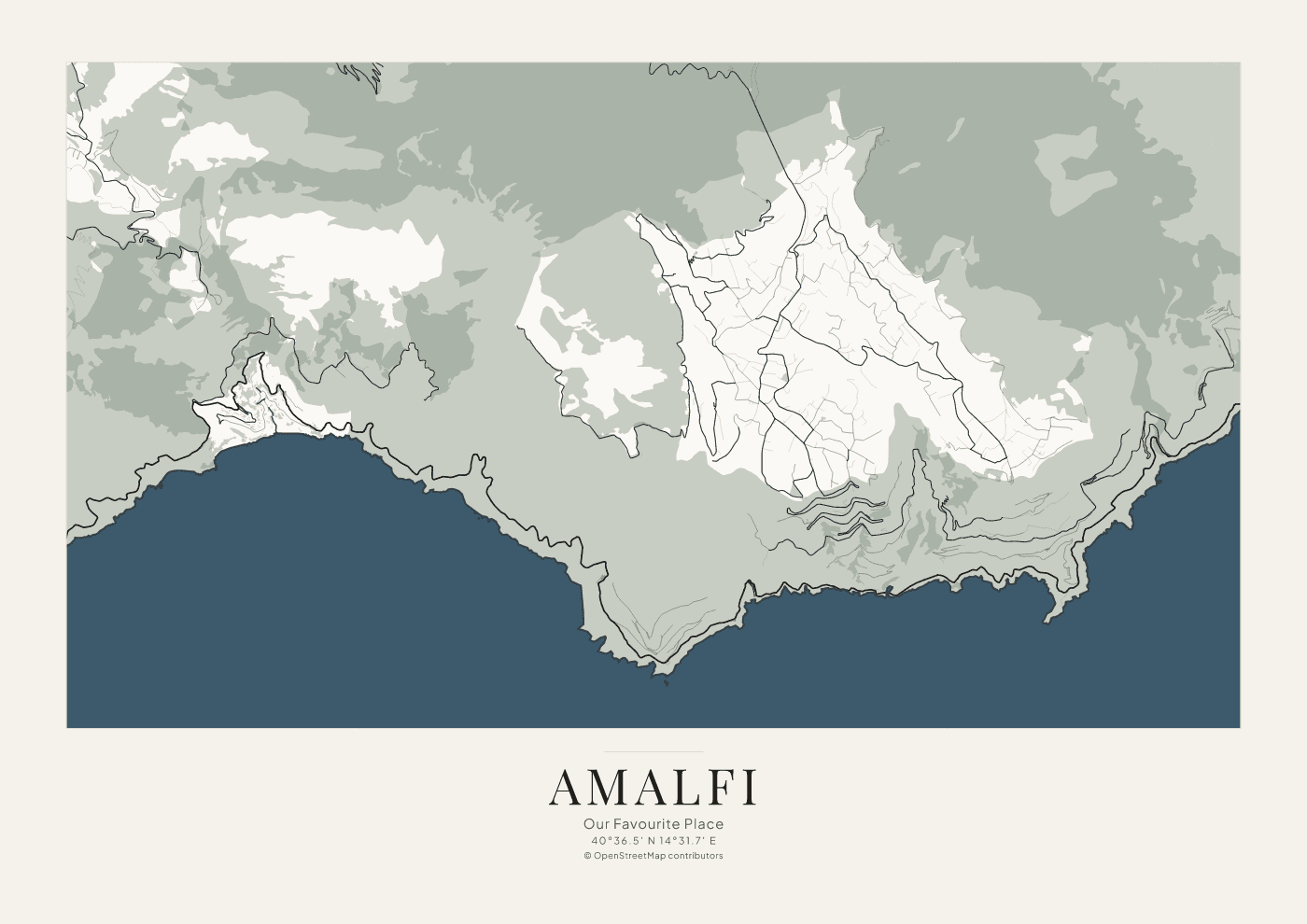
40°36.5′ N 14°31.7′ E · landscape
The coast between the hills and the Tyrrhenian Sea, with the winding roads recorded by OpenStreetMap. This sheet does not add elevation contours.
Example · not for sale
When ordering opens
01
A hometown, a beach, or another real location.
02
A title, a subtitle, and the coordinates of that place.
03
A reviewed digital sheet, when an Etsy listing exists.
This describes the intended process. The gallery is not taking commissions yet.
Companion tool
The map at rgb.earth/map is a separate, existing application for measuring and sharing maps. This gallery does not replace it.
Open Free Map Explorerrgb.earth/map
Use it to look around a place. Artwork on this site is prepared separately, from OpenStreetMap vector data, and is not a screenshot of the explorer.