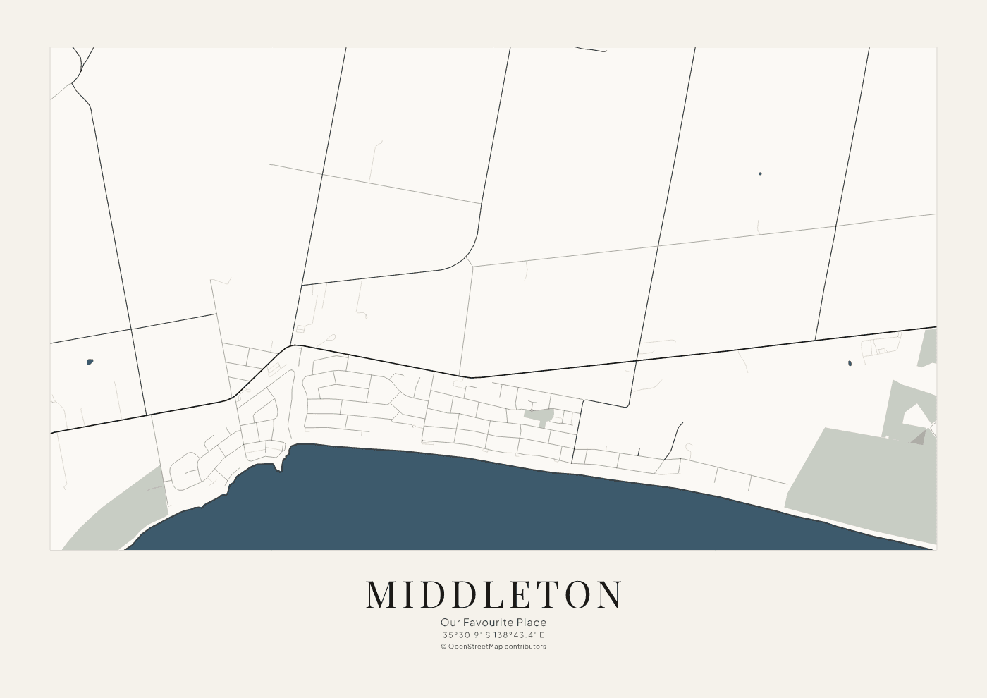
35°30.9′ S 138°43.4′ E · landscape
Middleton, South Australia
A coastal settlement on the Fleurieu Peninsula. The shoreline, the main road, and the residential streets are drawn from OpenStreetMap.
Example · not for sale
RGB Earth examples
Three places, one drawing system. These sheets are examples of the Coastal Classic style. They are not for sale.
35°30.9′ S 138°43.4′ E · landscape
A coastal settlement on the Fleurieu Peninsula. The shoreline, the main road, and the residential streets are drawn from OpenStreetMap.
Example · not for sale
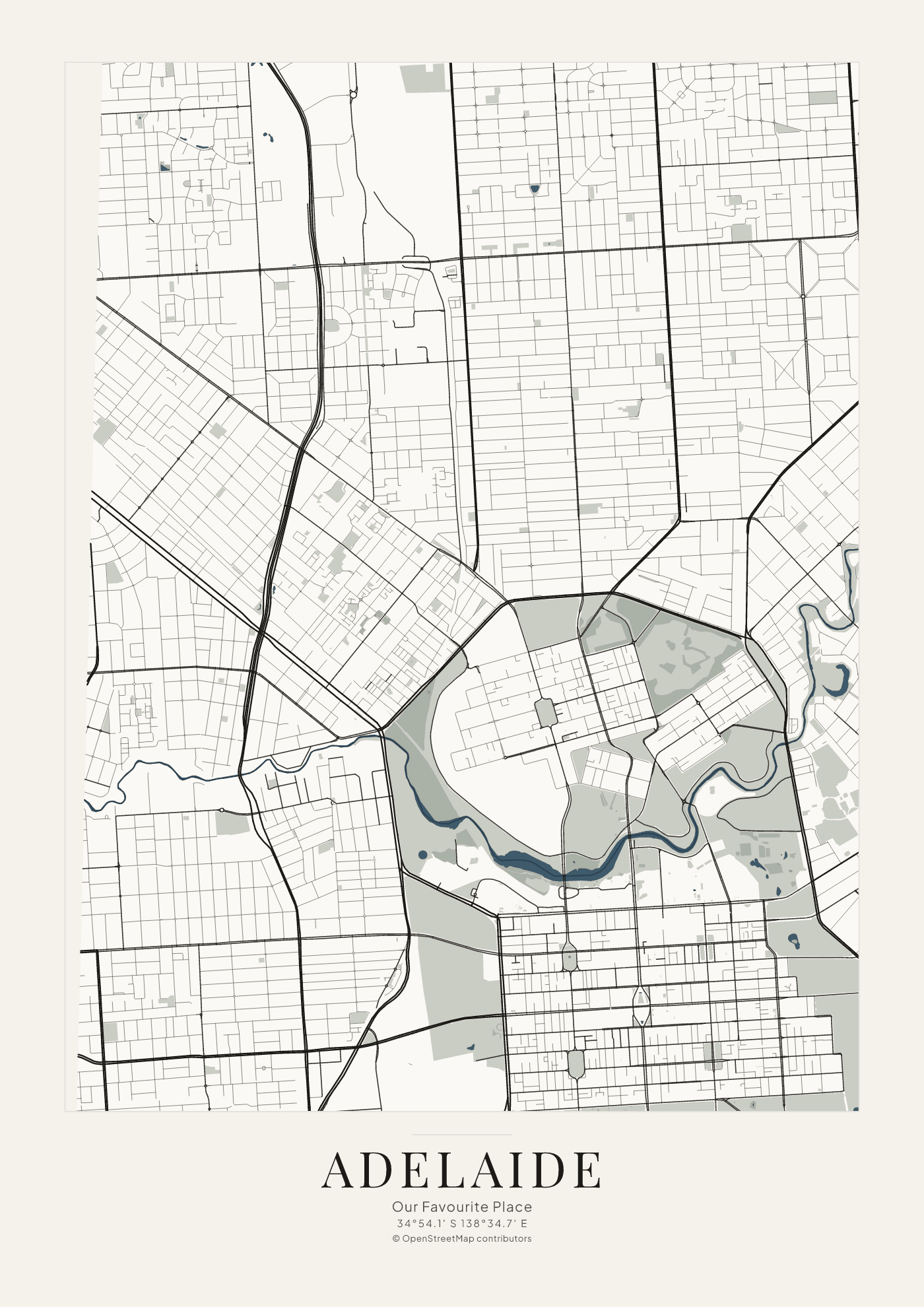
34°54.1′ S 138°34.7′ E · portrait
The city grid, the parklands, and the River Torrens. Gulf St Vincent is outside this sheet. Roads and water come from OpenStreetMap.
Example · not for sale
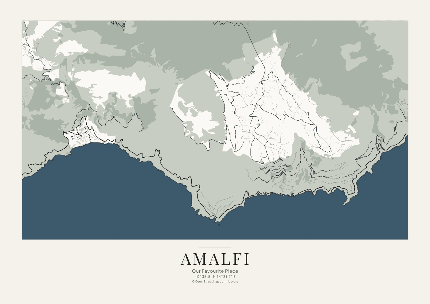
40°36.5′ N 14°31.7′ E · landscape
The coast between the hills and the Tyrrhenian Sea, with the winding roads recorded by OpenStreetMap. This sheet does not add elevation contours.
Example · not for sale